All in one surveying company
Summary of Survey Services
- Hydrographic and oceanographic
- Survey for construction
- Survey for heavy industry
- Geodetic surveys
- Mobile mapping
- Positioning systems for machinery
- Geotechnical surveys (partner solution)
Kordil Online Services
Quick access to our hosted positioning, mapping and remote support tools.
Kordil NTRIP
Real-time GNSS correction data distribution and caster status.
Kordil EPS Map
Open the interactive Google Maps and satellite imagery viewer.
Remote Screen Share
View computers currently sharing their screens with Kordil.
Land survey & construction survey services
Survey services for construction (industrial facilities, business centers, airports, highways, railways, pipe lines, and infrastructure), real-estate, mining and engineering purposes as well as survey services subject to official registration related to municipalities and national cadastral offices within Turkey. For all surveys we deploy hi-tech surveying equipment and qualified surveyors.
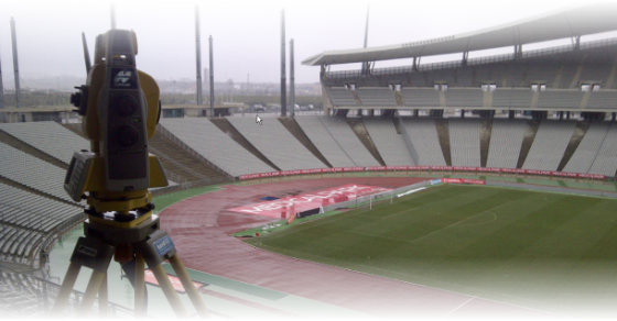
• Building and construction survey services on land and offshore
• Research and engineering survey services
• Officially recognized surveys within Turkey
• Installation and survey control point network for construction sites
• Identification and setingout of official boundaries of real-estate
• Pilot plans and site map of construction fields
• Division and combining parcels including registration
• Archaeological surveys and mapping services
• Urban and city planning services
• Surveying and mapping for mining, geophysics, and geology engineering
• Deformation, consolidation and settlement surveys
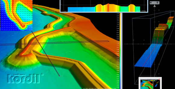
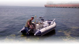
Bathymetric, hydrographic & oceanographic
Bathymetric, side scan, subbottom profiler surveys, acustic doppler current profiler, weather and tidal observations, and CTD surveys. We also provide personnel using above systems.
Engineering Survey
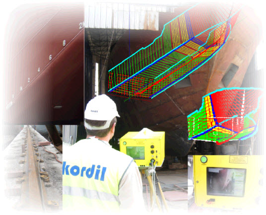
- Deformation and realtime movement monitoring
- Survey for mechanical installation
- Structural steel and machinery alignment
- As-built survey
- 3-D modelling
-
CONTACT US
T: +90 (216) 344-6835
M: +90 (532) 111-5110
Kordil is distributor of:




Hydrographic
Support with TeamViewer